

I have been using pen and paper, along with digital tools such as Photoshop, Affinity and Artstudio Pro, for many years now to create my maps — these are great tools and bring worlds to life quite quickly. However, I’d often wondered how I could create Ordnance Survey-style maps with lots of detail, but zoomable like Google Maps. This made me think of GIS tools, but I’d assumed they were very expensive. I’d completely forgotten about QGIS, an open-source GIS system. So off I went and downloaded it. I’m donating £5 per month, as that seems only fair.
Using QGIS probably deserves more than one post, but this is not it. One of the things that came out of the work, though, was being able to see Panimálay in a way I hadn’t before.
Using QGIS, I made a digital elevation model, or DEM, based on my hand-drawn maps from Affinity and the height information in my hex-map data. I then added the climate and biome information stored in CSV files. I used that combined information with ChatGPT and DALL-E to create views of the landscape.
And I was quite awed by what came back.
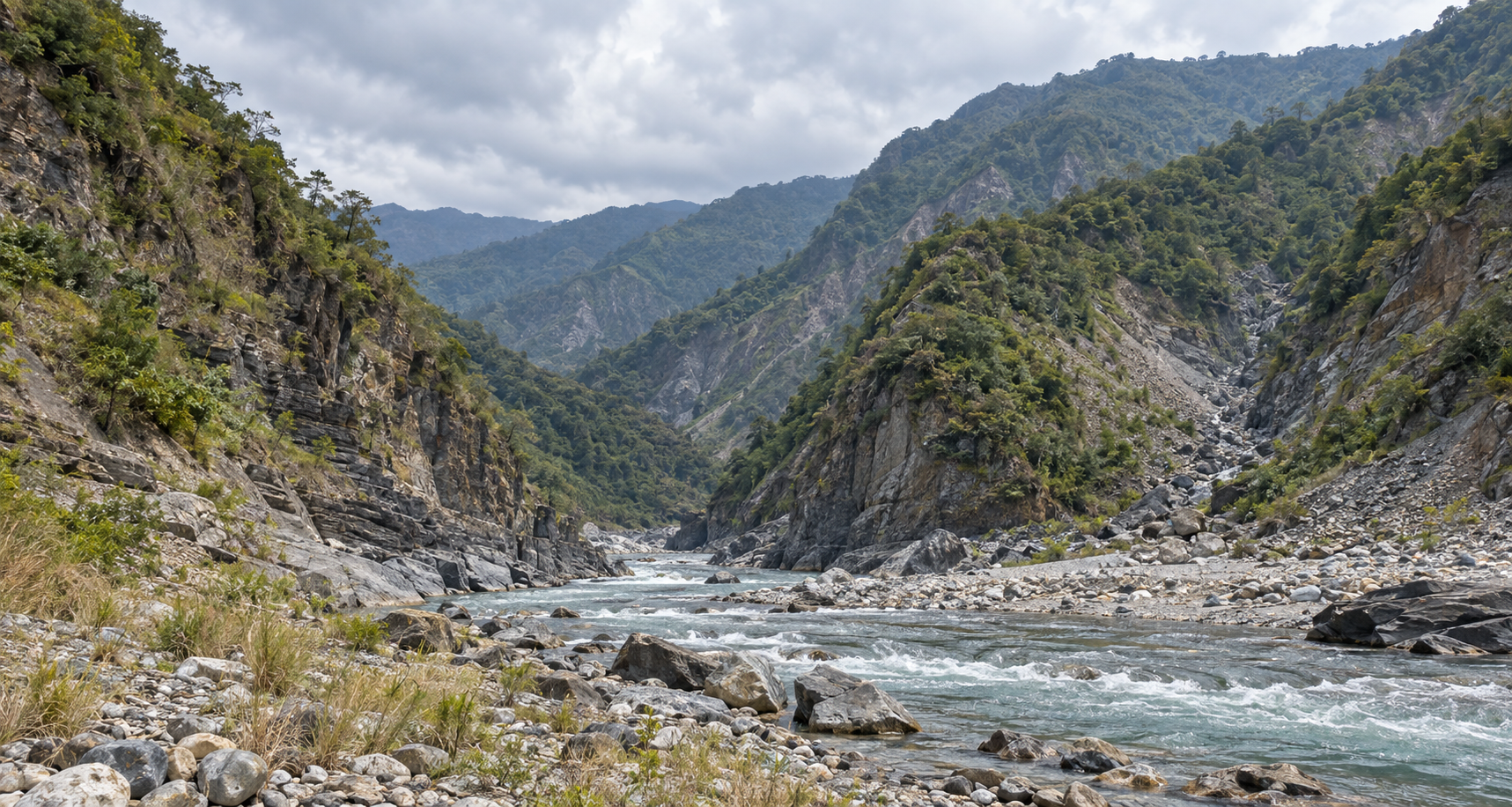
For the images, I selected three viewpoints from the DEM I’d created: a river gorge, a view across some foothills and a broad river plain. After all the time spent working on the maps and the information behind them, I could look along a river between steep slopes and across valleys towards the higher ground. I could see my world with my eyes as well as picture it in my mind.
Looking along a river gorge in Panimálay.
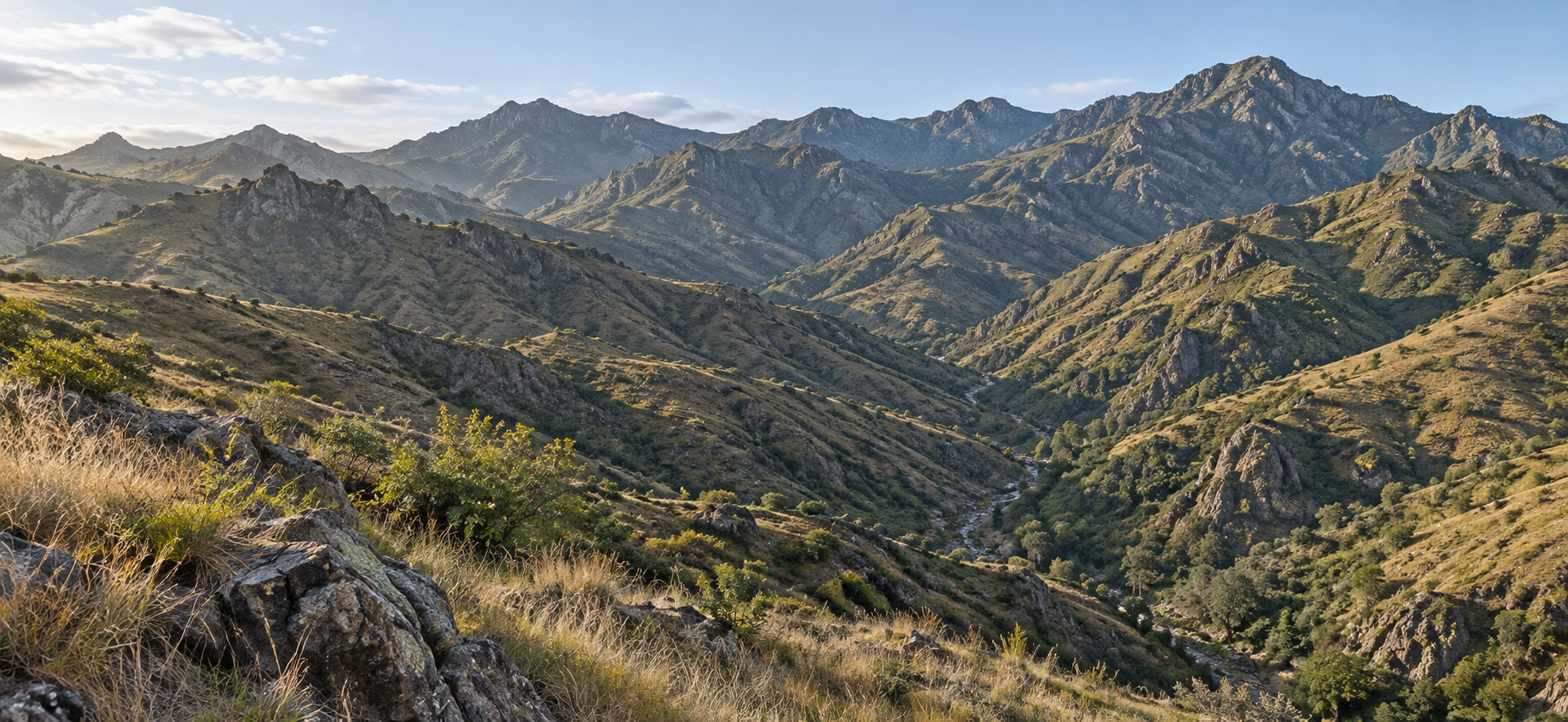
A view across the foothills towards the higher ground.
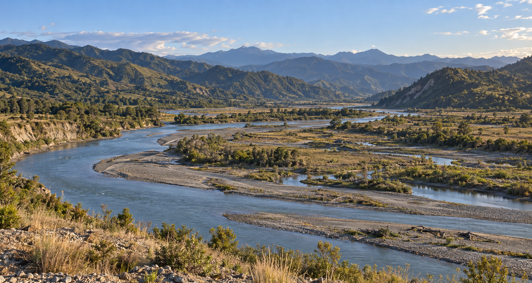
A broad river plain, with the river dividing around gravel banks.
Landscape imagery generated with ChatGPT and DALL-E, informed by Panimálay’s terrain and biome data. These views are interpretations.
Yes, I know these are generated images of a fictional world. The image generator has supplied a great deal of the visible detail, and these are interpretations of the terrain rather than exact renderings of those viewpoints. But I still found it amazing that the geographical work could lead to this. It was Panimálay I was looking at, however provisional the pictures might be.
The possibilities this sort of thing gives are, to me, mind-boggling. If the image generator can use the geodata it is given to create landscapes, what possibilities does it offer when given information about cities, towns and other structures? The thought of looking into Dornric on a winter day is amazing to me. The ability to visualise the daily lives of the people and places of Yerp is fantastic. There is so much of the world that I’ve spent time developing, and I can now begin to imagine bringing more of it into view.
Beyond the ability to create really detailed maps and connect information to them, there is another possibility coming out of QGIS, which connects with something I’d already been toying with.
I’d had an idea for a web-based gazetteer. I use Obsidian to store the canon for Panimálay, and there is an option to publish to the web. So I’d thought of developing a wiki-type site. The issue for me was how to attach the visual layer. But I think I may have solved the problem — well, not me personally, but through the use of QGIS.
From what I have discovered, I can potentially create an interactive web-based atlas from the QGIS data, with information linked into it. The idea of clicking on a town in the atlas, zooming in and accessing information about the place is wonderful. With the information linked to references in the hex data, I should be able to create my dream of having Panimálay navigable online. I can hear you all yawning, so I’ll tone down my enthusiasm for the technical possibilities.
I found myself thinking about how much of Panimálay I might eventually be able to share that way. The books are one way into it, but I’d also like people to be able to wander around and see what catches their interest. I enjoy doing that with real maps — some people doom scroll, I go clicking about on Google Maps — and the thought of someone being able to do it with mine is rather appealing.
The atlas is still an idea I’m exploring, and there is plenty to work out about getting it onto the web. For now, there is still quite a lot of terrain work to finish. I’ll come back to the atlas when I’m further along with that.
Russ.