

À propos maphiker
making maps of hiking and biking trails.
Started riding mountain bikes in the mid 1990s and got lost many times. Decided to learn wilderness navigation, which took me to the Georgia Orienteering Club. I was fascinated by the maps they produced and learned how they were made.
In 2004, the United States Orienteering Federation held a map making clinic. This clinic taught me about GPS, GIS, and UTM plots. Also spent time learning Global Mapper, Google Earth, and Open Street Map.
Dauset Trails Nature Center asked for kiosk map printed two feet tall and three feet wide. This gave me the opportunity to learn the difference between scaleable vector maps and fuzzy raster maps. I have since produced kiosk maps for Rock Hawk Effigy Trails, Arrowhead Park, Sema Erwin Nature Preserve, and several other parks.
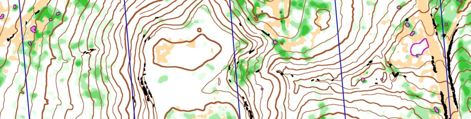
Eventually LIDAR data and tools became widely available, and I included high resolution contour lines into my workflow.
Open Street Map is a great resource for both online maps and the display on your Garmin unit, so I also update that resource with new roads and trails in the Middle Georgia area.
Most of my maps are available online at: maphiker.info
Donateurs récents