
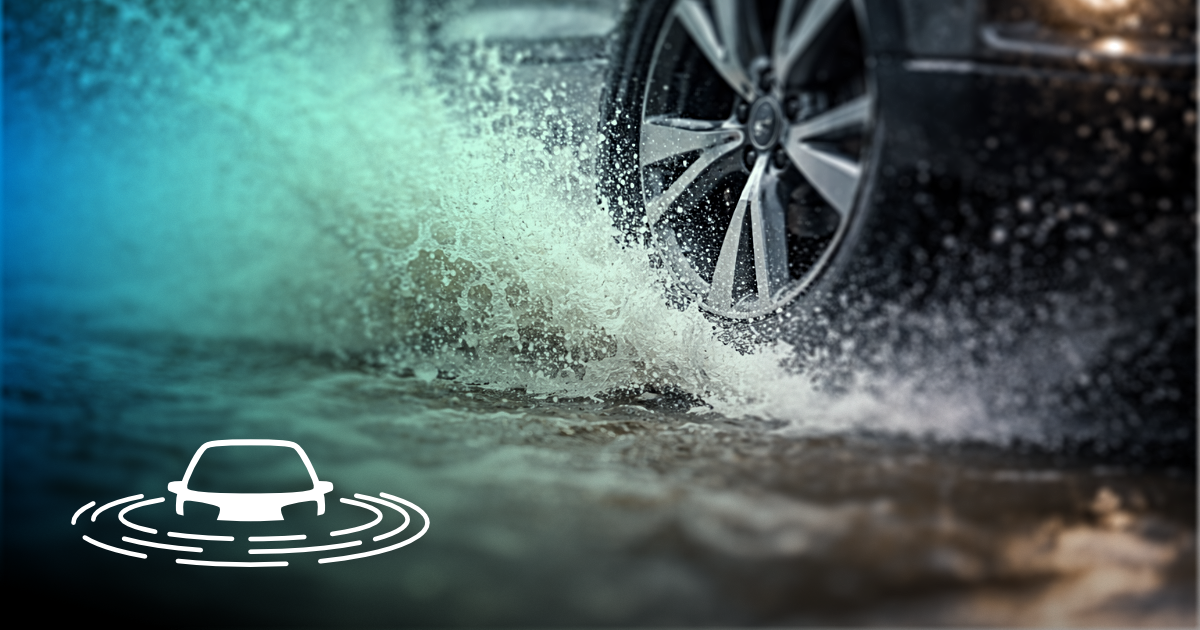
 If you’re here, you’ve probably already used the tool, or at least found yourself wondering whether the road through Gumfreston is passable today.
I built it because that question comes up constantly, and the answers are rarely clear. Flooding here is highly local, influenced by several overlapping factors, and often only obvious once you’re already committed to the road.
I’m a designer by trade, and work has been unpredictable for a while. Rather than waiting for things to improve, I decided to put that time into building something genuinely useful: a small, independent tool that combines live environmental data with local knowledge, and tries to explain uncertainty honestly rather than hiding it.
The project started very locally, but it’s designed to grow if it proves useful. Gumfreston is the test case, not the end goal.
There are no ads, no tracking, and no influence over what the tool says. The status is driven by data first, supported by community reports, and designed to stay calm unless there’s a real reason not to.
If the tool has helped you, even once, you’re welcome to support its ongoing development here. Donations help cover time, hosting, and the slow, careful work of keeping it accurate, understandable, and independent.
There’s no pressure to donate. The tool will remain public and usable either way.
Thanks for using it.
Tom / Flock of Clouds