
DRY AND WARM, THEN A CHANGE
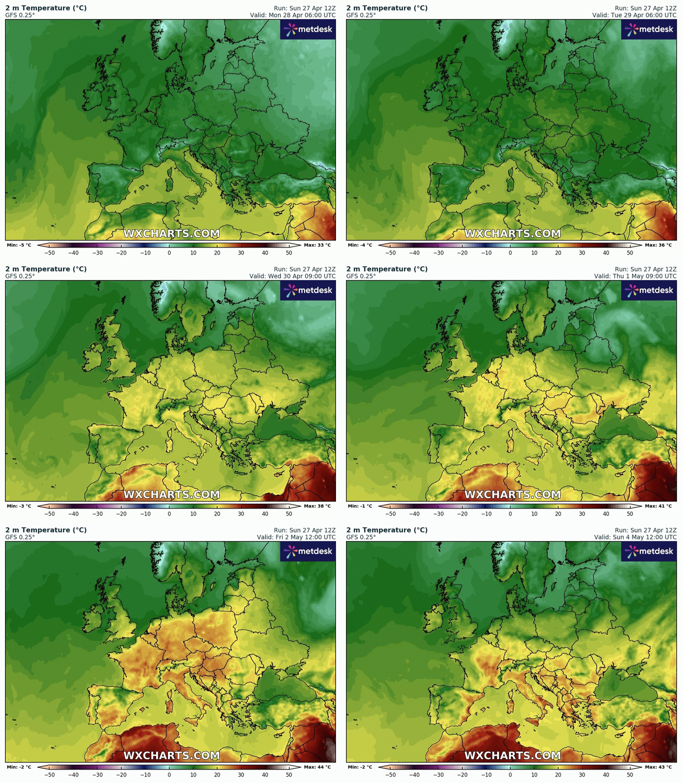
High pressure will be in charge for most of next week, bringing with it dry and fine conditions and summer-like warmth for some, but a change to cooler and slightly unsettled weather is looking likely into the Bank Holiday.
The new week starts with mainly dry and settled weather with good sunny spells, some mornings maybe a bit cloudy, but pleasantly warm afternoons for many.
High pressure will then dominate through to the end of the week. Highs could reach 25 /27 °c in places on Wednesday and Thursday with plenty of warm sunshine.
Then, as normal, when we get warm weather for a few days, the chance of thunder showers increases
And weather models are indicating some instability developing, meaning that thundery showers could develop late on Thursday into Friday, but details may change
Then, looking ahead into next weekend and beyond, renewed High pressure could then develop to our Northwest, sending cooler air from Northern Europe our way.
This would mean temperatures fall back to average values or perhaps slightly below, with a mix of sunny spells and perhaps some thicker cloud with scattered showers at times.
And a slightly more unsettled pattern may persist into the week after next, with more typical, changeable spring conditions, but some warm spells of sunshine as well.
www.favershamweather.org