

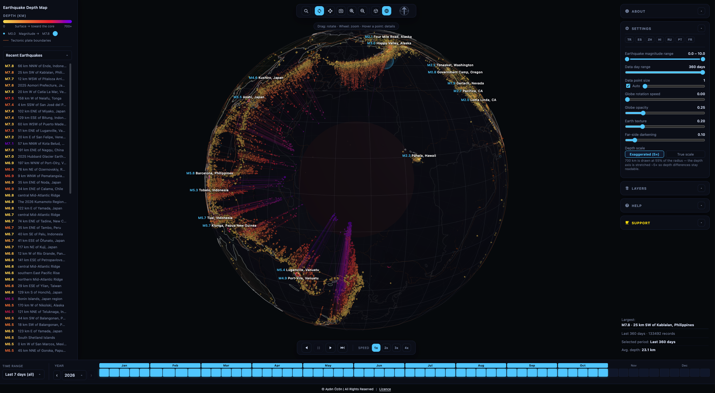
 Every earthquake on the news is a dot on a flat map. But the most interesting part is the one you can't see: depth. Some quakes break a few kilometres under our feet; others start 600 km down, where one tectonic plate is sliding into the mantle beneath another.
So I built 3D Earthquake Depth Map — a live, interactive globe where every earthquake is placed at its true depth inside the Earth.
👉 Try it free: https://aydinozon.com/projects/3Ddepthmapquakes/
What you can do with it
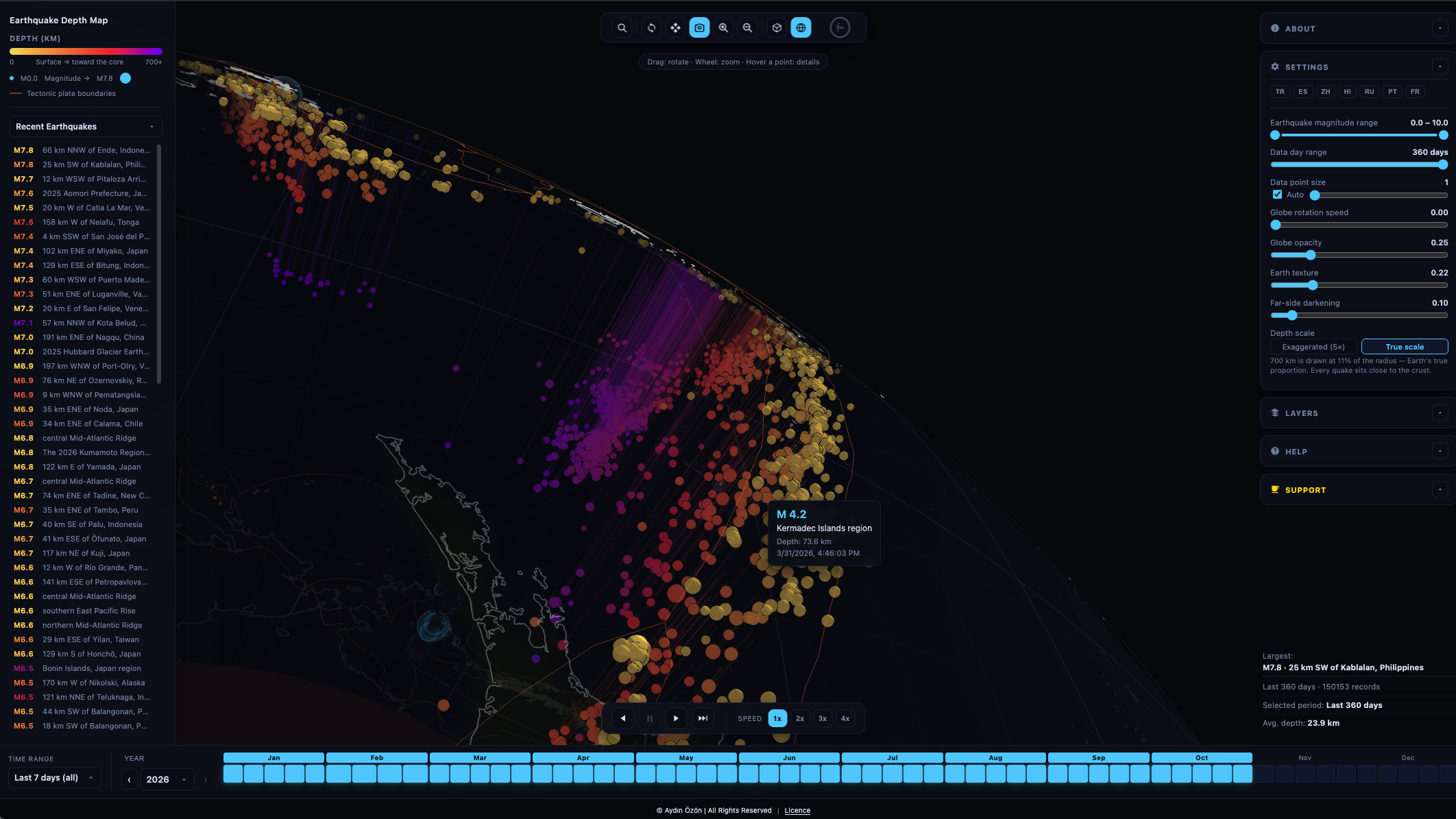
Watch the last day, week or month of earthquakes worldwide, live from USGS and EMSC
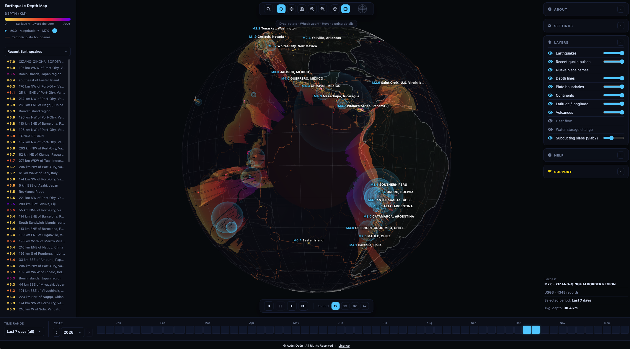
Spin the globe, or unroll it into a flat map with a cross-section of the crust beneath it
See the subducting slabs (USGS Slab2) that cause the deepest quakes
Follow aftershock sequences around a big event
Turn on plate boundaries, volcanoes, heat flow and GRACE water-storage layers
Search any country or city, in 8 languages
Use it on the web, or install it on Android, macOS and Windows
No account, no paywall, no ads. It's a one-person project, built in my spare time.
Why I'm asking
Keeping it free still costs money and many evenings:
hosting and bandwidth for the live map
developer accounts and code-signing so the apps install without scary warnings
time to add new layers, fix bugs and keep up with data-feed changes
If the map taught you something, helped a class, or just made you stare at the Pacific "Ring of Fire" a little longer — a coffee helps keep it alive and growing.
Every supporter gets my thanks on this page, and I read every message. Tell me which feature or region you'd like next; supporters' ideas go to the top of the list.
Can't donate? Sharing the map with one curious friend or teacher helps just as much. 🙏
Aydın