
Hungarian Blue Trail — SVG files for laser cutting and pen plotting
$10
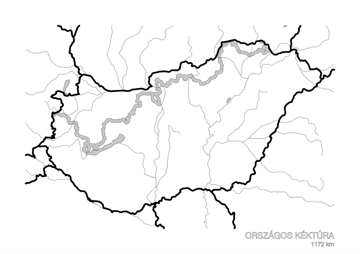
The Hungarian Blue Trail rendered as production-ready SVG files: the trail line merged with Natural Earth map data, output as separate layers for laser engraving, laser cutting, and pen plotting.
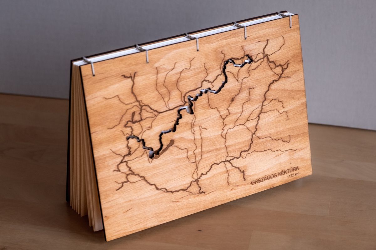
I made these for a hand-bound photo album with a laser-engraved birch plywood cover — the same files work for any vector-based fabrication setup.
The files are free to download from the GitHub repository along with the script that generated them. Contribute by pledging any amount that feels right.
Go make something with them, and show me. I'd genuinely like to see what you create.
$10
Menge
Gib einen fairen Preis ein
$
$10