

There's been real progress on the map archive the last few weeks. 5G/1 St Malo is already live, and eight more sheets are right behind it.
New Maps
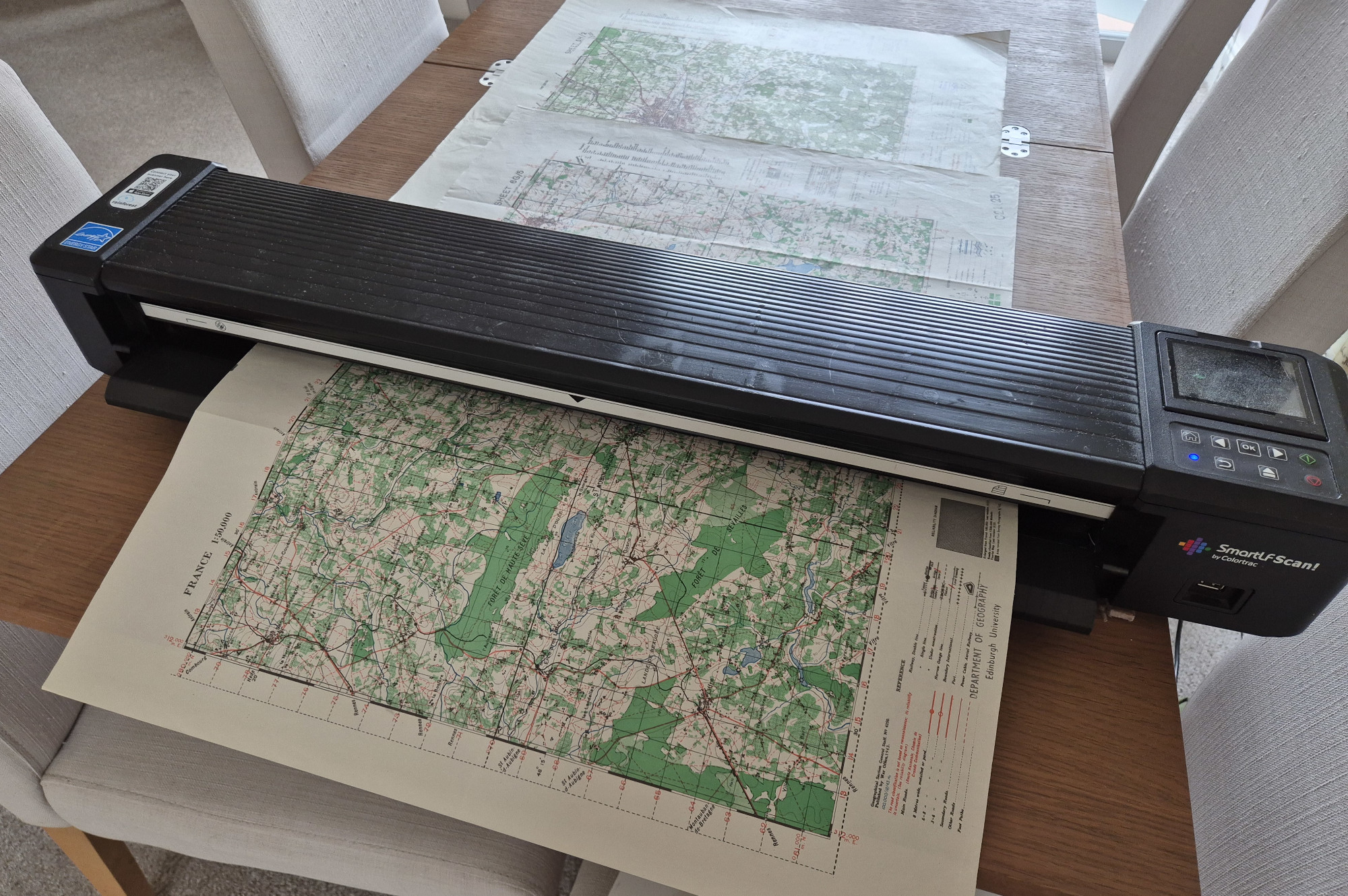 5G/1 St Malo, covering St Malo east to the coast at Plurien, is now up in the GSGS 4250 archive (War Office 1943, AMS printing March 1944, 1:50,000).
The following maps heading inland should start appearing in the next few days: 5G/3 Dinan, 5G/4 Combourg, 6G/3 Antrain, 6G/4 Landivy, 7G/3 Ambrières, 7G/4 Alençon, 8G/3 Mortagne, and 8G/4 La Loupe.
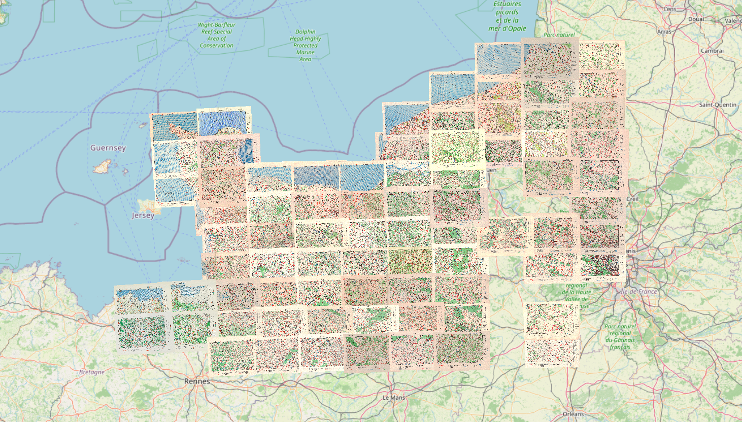
Behind those, I've got a further twenty or so in progress, with more maps being scanned, so there should be a steady stream of these pushing the coverage inland and to the East.
War Diaries: 21st Beach Recovery Section REME
I've also published July, August, and September 1944 for the 21st Beach Recovery Section REME, and I'm close to finishing the transcription and geocoding of the remaining months.
July found the section still under fire in Queen Sector before relocating to Luc-sur-Mer, then to Graye-sur-Mer on the 14th to take over Mike Red beach under 102 Sub Area command. Lieutenant Law led a detachment out to the King/Love beaches to reinforce 24th Beach Recovery Section, and on the 21st and 22nd the recovery crews pulled a D8 tractor off Mike Red after it had been damaged by a mine.
21st Beach Recovery Section REME July 1944
August was busy in the workshop with clutch failures on two BARVs, a seized brake servo on a Ward la France lorry, wheel bearing overhauls on the Macks, and a run of equipment swaps with 22, 24, and 27 Beach Recovery Sections. From the 27th the section also took on repairing RAF vehicles across the beach area.
21st Beach Recovery Section REME August 1944
In September the unit moved up through Bourg Théralde and set up a new headquarters in the château at Varengeville-sur-Mer on the 18th, scattering recovery detachments out to Envermeu, Torcey-le-Petit, Bréauté, Cailly, and the Dieppe dock area.
21st Beach Recovery Section REME September 1944
What's Coming
The last few weeks have been slower than I'd like. Neighbouring maps need to be georeferenced together to keep the mosaic lined up, so it's been a batch process rather than one sheet at a time. That batch is finally coming together now, and there's plenty more of Brittany and lower Normandy still to come.
As always, thank you for the support. It helps to keep the servers online and to keep providing new material.