

GPS Waypoint Finder
Free
158 people bought this
For finding the distance and direction to a location.
Requires a GPS and magnetic field sensors in your device and Android 7 (Nougat) or above. App Version 1.20. No Ads. Privacy policy.
Link to app on website: https://www.keuwl.com/apps/gpswaypointfinder/
App Summary:
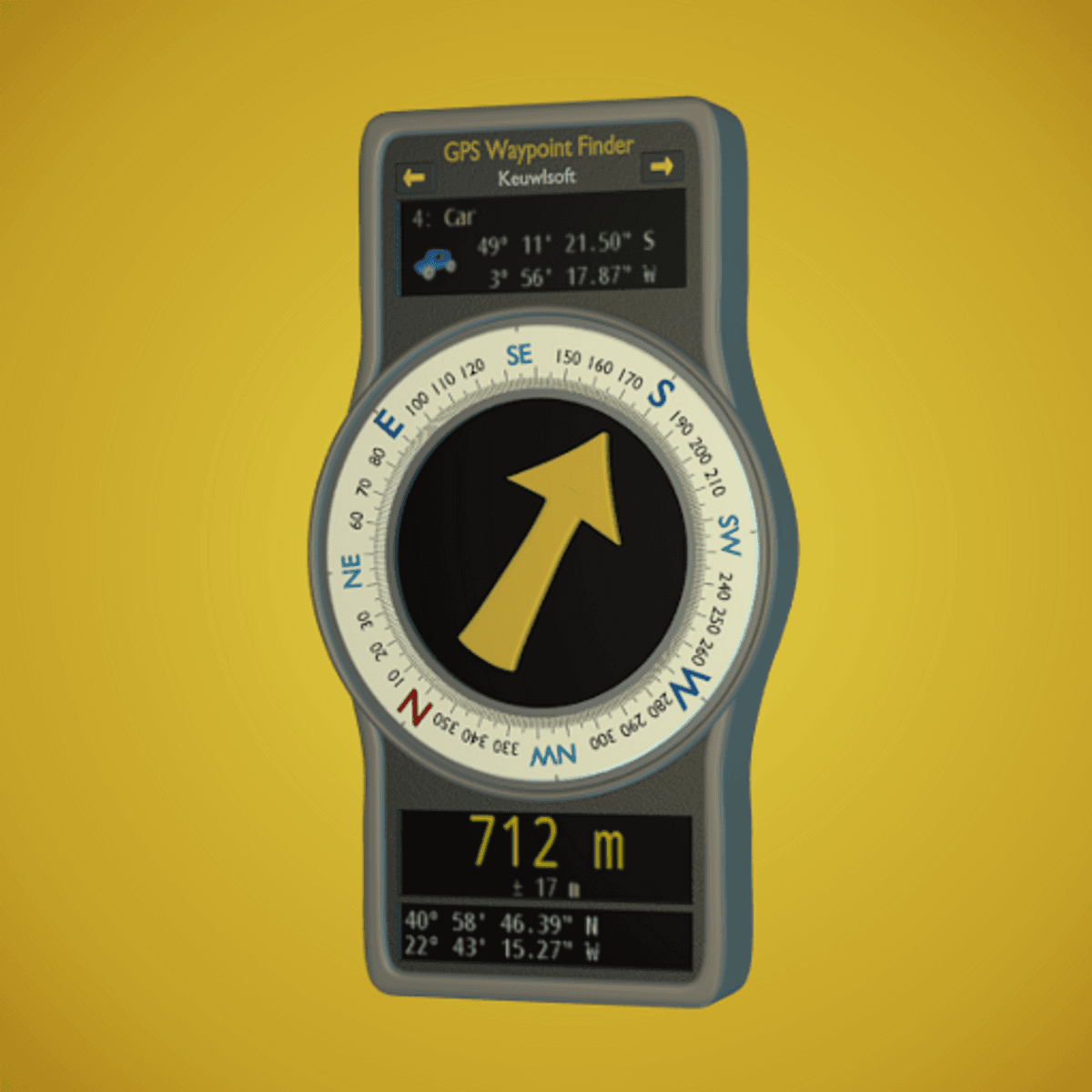
Uses the GPS sensor, Magnetic Field Sensor and Accelerometer to determine the distance and direction to a GPS waypoint.
Normally a compass needs to be level to get the correct reading, but this app uses the accelerometer reading to convert the magnetic field reading back to the horizontal plane.
In addition to the direction and distance to the waypoint, a compass ring shows the current heading. North points to True North (i.e. The direction is corrected for the magnetic declination - the difference between magnetic north and true north).
The GPS reading and the time since that reading is shown at the bottom of the screen.
Use for geocaching, finding your car, hotel, or other locations.
Store up to 500 waypoints.
Imperial or Metric units.
Import and Export waypoints as GPX files.
Arrow color changes to green at less than 30m and blue at less than 10m to make it easier for littler ones to identify that they've reached the waypoint.
Whilst walking, look where your going, not at the app or you might trip! The app tells you the direction of your destination, not how to get there.
Only as good as the sensors in your device. The accuracy of GPS will also fluctuate as the detected satellite configuration changes. Use for Indication Only.
Requires a GPS and magnetic field sensors in your device and Android 7 (Nougat) or above. App Version 1.20. No Ads. Privacy policy.
Link to app on website: https://www.keuwl.com/apps/gpswaypointfinder/
App Summary:
Uses the GPS sensor, Magnetic Field Sensor and Accelerometer to determine the distance and direction to a GPS waypoint.
Normally a compass needs to be level to get the correct reading, but this app uses the accelerometer reading to convert the magnetic field reading back to the horizontal plane.
In addition to the direction and distance to the waypoint, a compass ring shows the current heading. North points to True North (i.e. The direction is corrected for the magnetic declination - the difference between magnetic north and true north).
The GPS reading and the time since that reading is shown at the bottom of the screen.
Use for geocaching, finding your car, hotel, or other locations.
Store up to 500 waypoints.
Imperial or Metric units.
Import and Export waypoints as GPX files.
Arrow color changes to green at less than 30m and blue at less than 10m to make it easier for littler ones to identify that they've reached the waypoint.
Whilst walking, look where your going, not at the app or you might trip! The app tells you the direction of your destination, not how to get there.
Only as good as the sensors in your device. The accuracy of GPS will also fluctuate as the detected satellite configuration changes. Use for Indication Only.
Free
158 people bought this
Enter a fair price
$
Free