
Some early Android screenshots
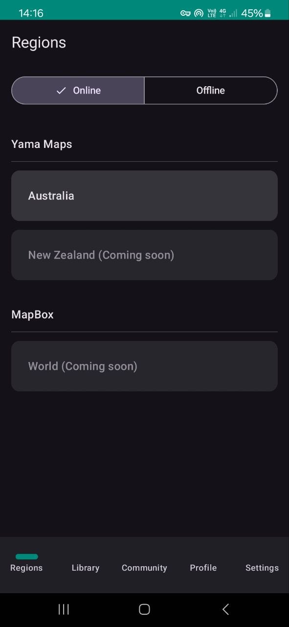
Main Menu
Grouped by map providers
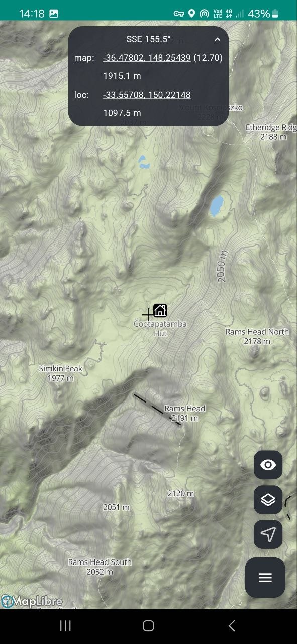
Map Screen
Bearing box expanded to show location of you can the map center (crosshair)
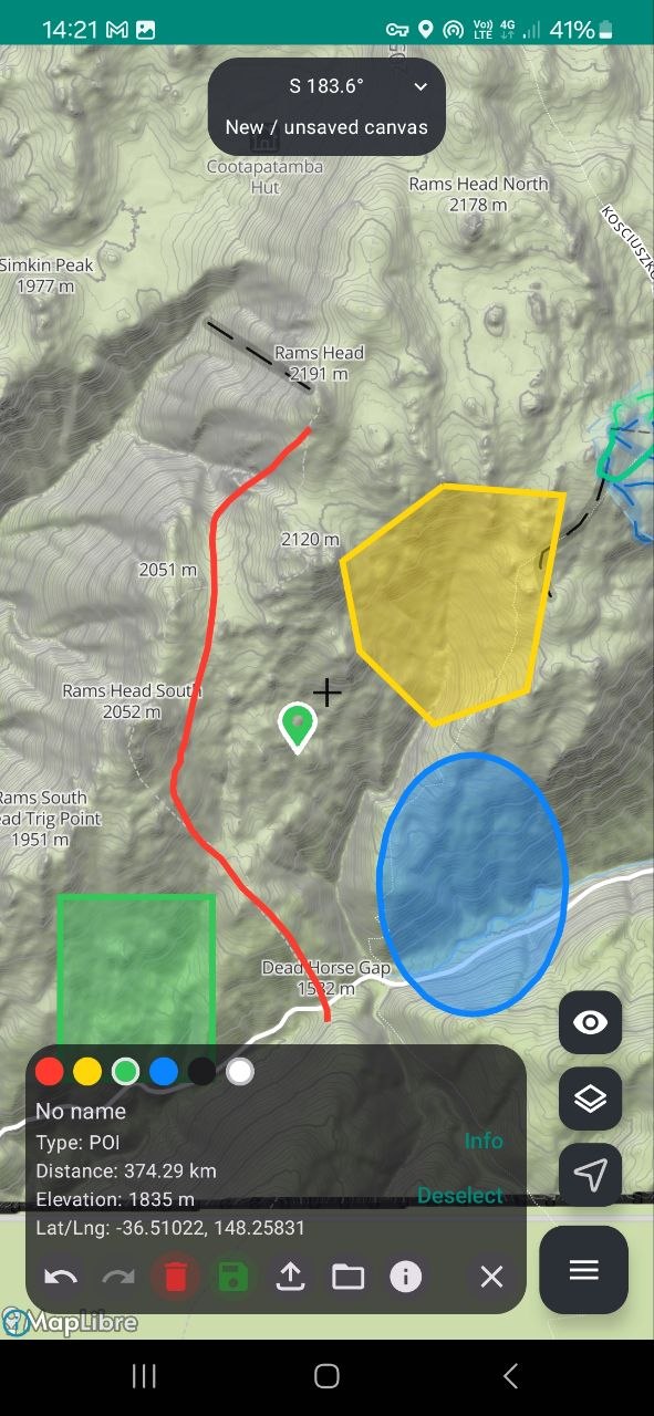
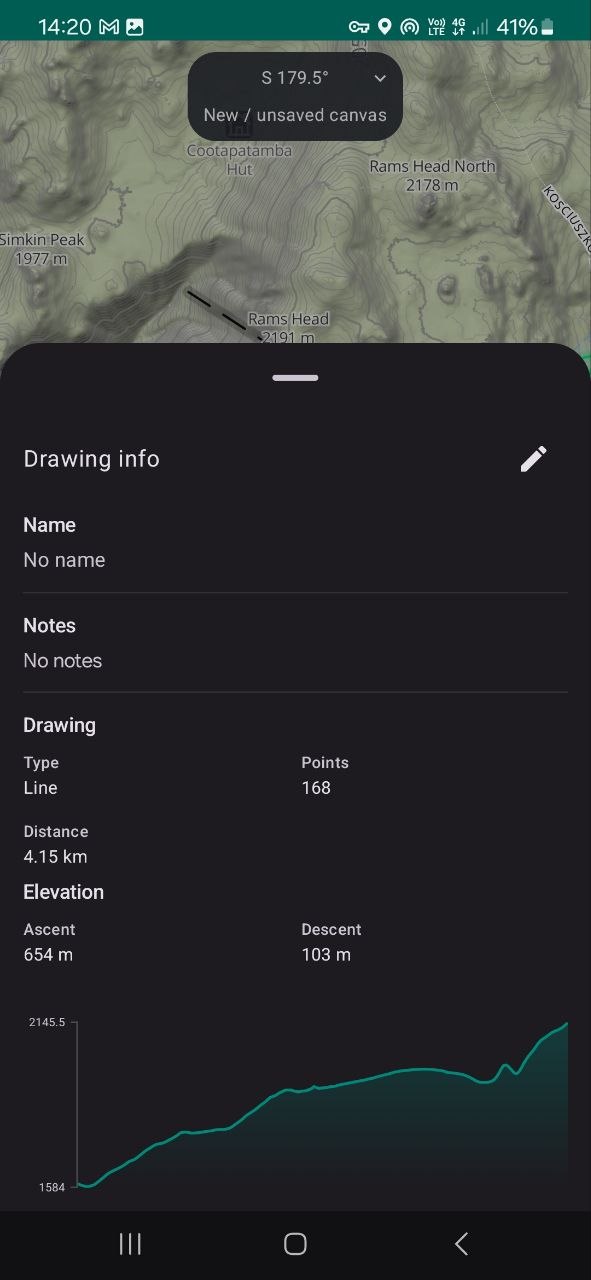
Planning Tools
Draw a line by point or freehand and see the elevation profile
Select a drawing to see its stats and edit (POI showing coords and elevation)
Yama Maps custom map (beta)
Screenshots are of Yama Maps provided map. Not from MapBox!
Early version pre any styling but note the detail in the landscape!